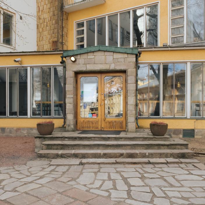
The regional museum collects and stores information about the cultural environments of Southwest Finland. In order to protect cultural values, the museum cooperates with various authorities and communities in matters concerning the built environment, prehistoric remains and local culture.
Cultural environment
The cultural environment is made up of buildings, landscapes and prehistoric remains resulting from human activity. An old agricultural landscape, shaped by centuries, even thousands of years of farming and herding, is the basis of a cultural landscape. Industrial areas and urban environments are also part of this landscape.
The built cultural environment includes buildings, courtyards, parks, streets, squares, bridges and ferry crossings. Prehistoric remains, found either on land or in water, are remnants of a bygone era. Some remains, such as burial mounds, sacrificial stones and castle mounds, are still visible in the landscape, but many are hidden underground. Shipwrecks are examples of underwater prehistoric remains.
Building inventory
The museum with regional responsibility for Southwest Finland has been collecting information about the built heritage for decades in cooperation with municipalities, the Regional Council of Southwest Finland, the Centre for Economic Development, Transport and the Environment, associations and other local actors. This information is needed, for example, as a basis for environmental planning. Inventories are carried out to assess the environmental impact of various projects and for town and country planning.
Building inventories collect basic information on the building stock of the area, i.e. they examine the appearance, antiquity and representativeness of buildings from a cultural and historical point of view. For site inventories, the data include the location, name and property identification of the site, a brief summary of the buildings on the site, cultural and historical values, a rating and a photograph. The regional inventories, on the other hand, contain information on the history, landscape and current state of the villages or districts, as well as information on the built environment.
Inventory data on the built environment of Southwest Finland are stored in the information portal MIP - Museum Information Portal of the Turku City Museum. The material has been accumulated through years of work since the 1980s.
MIP's material is open to the public on the web service Raari.fi.
Landscape history maps
Landscape history maps are mainly based on large-scale maps from the 1700s and 1800s. They show the history of landscapes and buildings and illustrate the location of village plots, fields and roads. The maps can be used to study the relationship of buildings to their historic environment. The maps have been produced as part of various development projects. Digital images of the original old maps have been superimposed on the base maps and the map patterns and markers have been vectorised in a geographic information software. Information such as place names is accurately recorded in the context of the map features.
The result is a resource that serves a diverse user base, whose information content will not become obsolete and can be used as background material for all projects related to the cultural environment, local history, land use and construction. Maps of landscape history can be found in almost all municipalities in Southwest Finland.
Building heritage and landscape history maps can be explored in the Lounaistieto map service. The services are currently available only in Finnish.
